KINGSTON, R.I., Nov. 9, 2016— Hurricane Sandy destroyed hundreds of houses and other properties when it struck the Atlantic coast four years ago. But few realize that the storm also disturbed the seafloor, altering underwater landscapes.
Researchers and students at the University of Rhode Island have mapped the ocean floor at one of several national parks along the East Coast to examine any changes—and have also created an online multimedia story so the public can follow their work.
“The Big Reveal: Developing Habitat Maps of the Seafloor of Key Coastal Natural Resources” provides a behind-the-scenes look through interactive maps, photos, graphics, text and more of the research by John King, a URI oceanography professor, and his students.
“The initial step in effectively managing submerged natural resources is to have an accurate and detailed understanding of what resources you actually have,” says King. “Our project is providing that knowledge about the study sites to the National Park Service for the first time.”
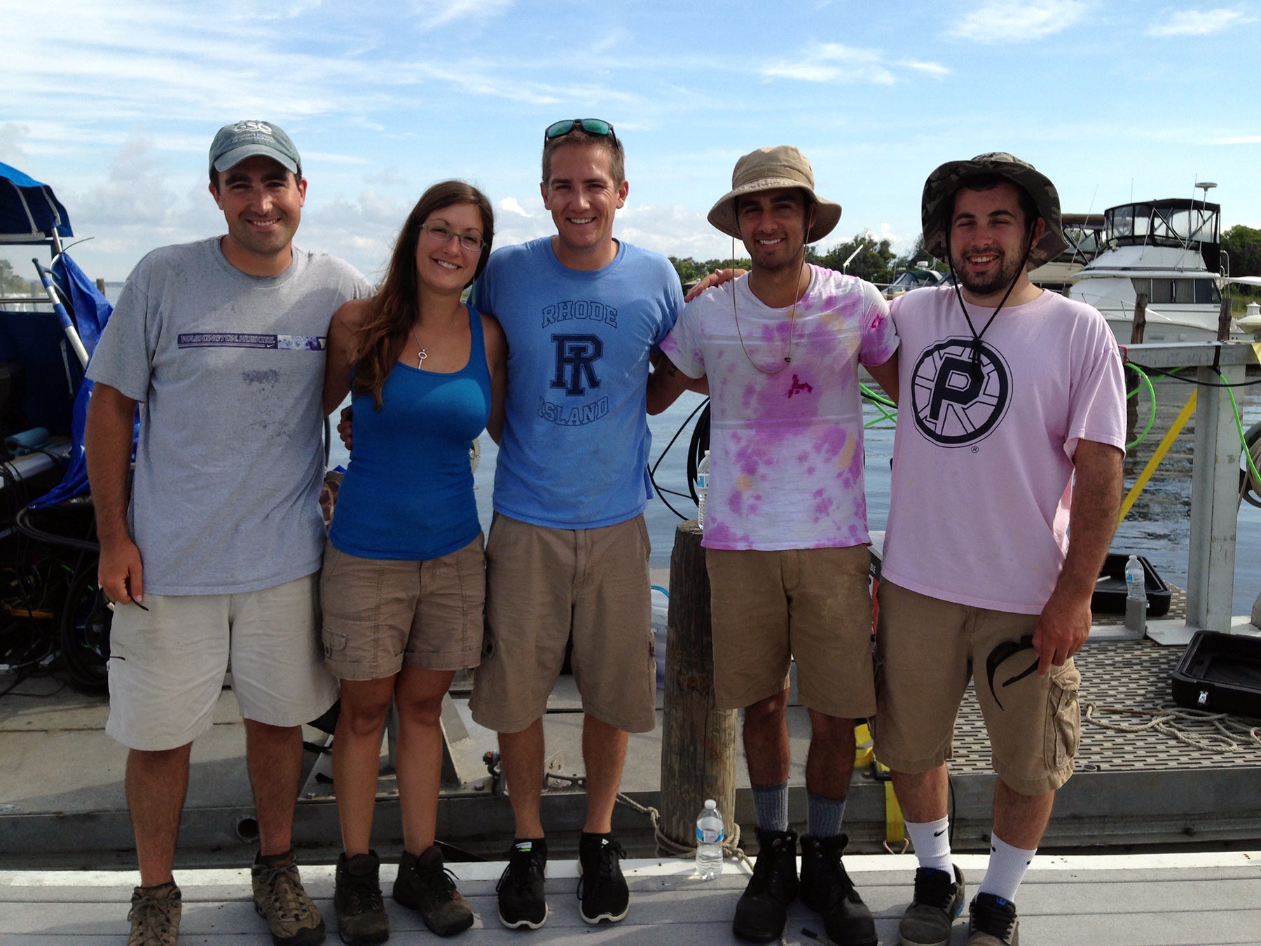
Researchers and students from King’s laboratory in the Graduate School of Oceanography and from URI Professor Caroline Gottschalk Druschke’s Society, Ecology and Communication Laboratory collaborated to create “The Big Reveal.” Druschke has a joint appointment in URI’s Department of Writing and Rhetoric and Department of Natural Resources Science.
Hurricane Sandy hit the coast Oct. 29, 2012, killing at least 233 people and causing billions in damages. The storm’s impact on land has been well-documented, but there isn’t much information about how the hurricane changed ecosystems on the ocean floor.
By creating detailed maps of submerged habitats, researchers will be able to compare this baseline data with subsequent data collected in the future after another hurricane. The research will help scientists better understand how future storms may affect these important natural environments, with ecological, commercial and recreational implications.
The research could also be helpful in studies of seafloor changes caused by sea-level rise, ocean warming and pollution.
Researchers used acoustic sonars, remote-controlled underwater vehicles and other cutting-edge technology to gather information. They also took photos and collected sediment samples.
Acoustic sonars were especially useful in the research. Sonars send pulses of sound to the seafloor and track the amount of time it takes for the sound to bounce back, calculating and collecting measurements of water depth. They also measure the sound’s intensity, producing an image similar to a black-and-white photograph. Sonars can detect large geological features, including mudflats, seagrass beds and coral reefs.
Mapping of underwater habitats took place in four national parks affected by Hurricane Sandy: Cape Cod National Seashore in Massachusetts; Assateague Island National Seashore in Maryland; Fire Island National Seashore in New York; and part of Gateway National Recreation Area in New Jersey. The URI team examined the Fire Island waters.
Significant portions of all four parks are submerged: 75 percent of Fire Island National Seashore’s area is under water; and 67 percent of Gateway National Recreation Area is submerged. Thirty-eight percent of the Cape Cod National Seashore is under water.
The research was funded as part of the U.S. Department of the Interior’s post-Hurricane Sandy recovery projects. Besides URI, the other institutions participating are the University of Delaware, Rutgers University and the Center for Coastal Studies in Massachusetts.
“Habitat mapping helps us better understand the ecosystem as a whole and how it’s resilient to or vulnerable to change,” says Monique LaFrance Bartley, a doctoral student at GSO who is working on the project. Knowing the condition of the seafloor is important: it shapes the ecosystem, from the size of sediment grains to the health of marine invertebrates, like clams.
Jamie Remillard, a doctoral student in rhetoric and composition at URI and co-creator of “The Big Reveal,” says it was exciting to create the online multimedia site.
“It’s important people understand the value of this research,” says Remillard. “ ‘The Big Reveal’ is informative, and it also connects people with science that matters in an engaging, interactive way. Making that sort of connection is key.”